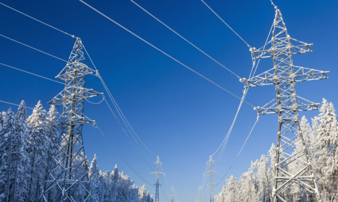
Traditional weather forecasts, while informative about general conditions like freezing temperatures, often fall short of providing the critical, actionable insights needed by utility operators. The gap between generic weather data and the operational realities of a power grid, such as predicting if a transmission line is at risk of an ice-induced outage, represents a significant vulnerability. A missed forecast can result in substantial damage, widespread service disruptions, and extensive blackouts.
Silurian’s innovative approach bridges this gap. Together with Hydro-Québec, we have demonstrated how GFT transcends basic weather prediction, focusing instead on forecasting the precise impact of weather phenomena on individual assets within a power grid. By post-training our GFT with direct access to sensor data and historical outcomes specific to a utility's infrastructure, we transform general forecasts into highly refined, asset-aware operational intelligence.
Instead of simply producing "better weather information," we deliver probability-calibrated thresholds and specific actions tailored to the unique characteristics of each asset.
We post-trained GFT with utility-grade observations, enabling it to forecast five critical grid variables: surface temperature, total precipitation, hub-height wind speed, wind turbine icing risk, and rime ice accretion on overhead conductors. The fine-tuned GFT demonstrates significant performance improvements over state-of-the-art Numerical Weather Prediction (NWP) models across lead times ranging from 6 to 72 hours, delivering tangible reliability and safety benefits for our partners.
Day-ahead temperature now land 15% closer to observed conditions, giving operators tighter look into expected load demand.
Windspeed forecasts now 20% lower uncertainty, giving operators tighter dispatch control.
Forecast mean absolute error reduced by 35% for better hydro-flow decision making.
Several hours of advance warning for potential rime-ice outages keeps transmission operators ahead of cascading failures.
Performance deltas benchmarked for Jan 2024 to March 2025.
The typical approach of the existing services is to interpret weather forecasts after they have been generated. This method, known as post-processing, relies on educated guesses to infer impacts or derived products. Our methodology, termed post-training, represents a fundamental paradigm shift.
Like providing a generic weather map to an analyst and tasking them with speculating on what it might do to a specific power line. Interpretation lives outside the model and depends on broad, situation-agnostic heuristics.
Interpretation lives outside the model.
Like embedding an engineer with decades of domain knowledge about your exact hardware directly into the model. Expertise lives inside the model and captures the nuanced links between weather states and asset outcomes.
Expertise is baked into the model.
High-resolution weather grids may be a commodity, but a probability-calibrated, asset-specific icing forecast for your most critical corridors is not. This requires post-training on your data. Historically, weather has been a liability for grid operators—information without agency. You know a storm is coming, but not precisely which assets are vulnerable, when to act, or what actions to take. Our approach fundamentally changes this equation transforming weather from a liability into an operational advantage through the true power of GFT.
Please read the pre-print for more details.

When rime ice brings down a transmission line, it's already too late. Traditional weather models can't see it coming—they forecast regions, not assets. Our collaboration with Hydro-Québec validates that a weather foundation model like GFT can deliver day-ahead rime-ice alerts with 0.72 average precision, reducing expected dispatch costs while providing operators with actionable 72-hour warnings.
Silurian Team
October 24, 2025

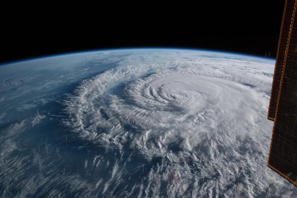
A quiet Pacific storm and a raging Atlantic hurricane present vastly different forecasting challenges. See how Silurian's GFT-C model provided critical, early predictions for both Henriette's peaceful dissipation and Erin's explosive intensification, showcasing the power of advanced machine learning to bring clarity to chaos.
Silurian Team
August 19, 2025